
Kankakee Neighbor Records by Block
Public sources answer narrow questions about Kankakee neighbors. K3-Mapper establishes which parcels touch. DEVNET shows the owner and tax facts for a selected parcel. Ward and precinct pages explain civic geography. Voter verification can test information already supplied for one person, but it is not an open household list.
| Source | What It Shows About a Block | Access |
|---|---|---|
| K3GIS parcel layer | Adjacent polygons, PINs, zoning, flood, tax, election, and municipal context | Free K3-Mapper and open data |
| DEVNET property roll | Owner display, situs and mailing address, legal description, tax facts | Free, parcel-by-parcel search |
| County address points | Address placement and street normalization | Public REST layer, circa 2017 |
| Ward and polling pages | Seven-ward map and Kankakee precinct locations 1-9 | City and County Clerk pages |
| Community Advisory Board | Ward-linked meetings, agendas, and neighborhood perspectives | Public meetings, no household roster |
A matching mailing and situs address may support an owner-occupancy inference, but it does not prove who is present today. A homestead exemption can add context, not a household list. The durable identifiers are the PIN and legal description. Names can be stale, shared, or tied to a tax recipient at another address.
Access is broader than the web map. The county GIS office publishes K3-Mapper and a Data Hub and can answer layer or address-placement questions. The Supervisor of Assessments maintains township property records and ownership maps. DEVNET supplies the searchable tax view. The Recorder counter and its Direct Search, Tapestry, and Laredo routes handle land documents. If one portal fails, carry the PIN and legal description to the next custodian rather than searching a person's name across unrelated systems.
Kankakee Neighbors in K3-Mapper
Open the K3GIS K3-Mapper, normalize the target address, and zoom until parcel boundaries are clear. Click or identify the target polygon. Then work around the same block face and include the rear and side parcels that actually adjoin it.
- Confirm the address point and target parcel number.
- Click each adjoining polygon and record only its parcel ID at first.
- Note municipality, zoning, flood, taxing, and election layers that cross the block.
- Open DEVNET for only the parcels relevant to the inquiry.
- For a whole named road, switch to the Kankakee street directory workflow.
The live ArcGIS controls may include selection or buffer tools, but the static inspection did not expose their exact names. A map relationship is still clear without them: adjacent parcels are the polygons that touch the target. K3GIS warns that data are provided as-is and can change.
Kankakee Parcel Owners Nearby
DEVNET accepts a parcel number, owner name, house-number range, street, city, sales criteria, tax classes, and legal-description text. It has no ZIP-wide field on the inspected screen. For nearby properties, use the PINs collected from the map or a tight house-number range rather than scraping a broad area.
The property address is the situs, the place where the parcel sits. The mailing address is where the tax bill goes. Confusing them can place an owner on the wrong block. Sale dates and owner names should also be checked against the recorded deed when accuracy matters.
Kankakee Wards and Precincts
Kankakee has seven wards, while the County Clerk polling page lists city precinct locations 1 through 9. Those systems describe different civic boundaries and must not be treated as interchangeable. A street can also cross a ward, taxing district, flood area, or municipal line, which is why the block map should come before assumptions about your neighbors.
A Kankakee postal label does not guarantee that a parcel is inside the city. Confirm the municipality and ward in GIS. The County address-point service is useful for placement, though its circa-2017 date means newer or changed addresses may need a second check with USPS or the county.
Kankakee Neighbor Voter Limits
Illinois voter verification asks for a name, birth date, five-digit ZIP, street number, and a street name chosen after the ZIP step. It checks supplied facts for one person. It does not publish all registered voters on a Kankakee block. Electronic voter-list use is restricted under 10 ILCS 5/4-8, so a lawful block search relies on district and polling information rather than a copied household roll.
The distinction matters. A parcel roll concerns ownership and taxes. A voter record concerns registration. Neither proves a complete current household, and protected voter data should never be exposed.
Kankakee Neighbors Meet Publicly
The Community Advisory Board is the strongest current umbrella resource found for neighborhood participation. It bridges residents and the city across seven wards, meets on the first Wednesday of the month, and publishes agendas and minutes. ECDA can be reached at 275 E Court Street, (815) 933-0506, or yourvoice@citykankakee-il.gov.
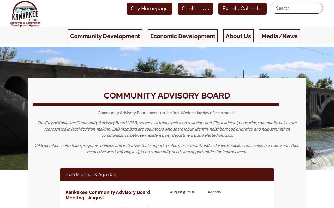
The board page creates a public route to local conversation without posting private member addresses. Community Conversations announced for March through October 2026 and Kankakee United events serve a similar civic role.
Community Advisory Board
Seven-ward bridge with public agendas, minutes, and monthly meetings.
Kankakee United
City initiative focused on block events, youth activity, and neighborhood pride.
Strong Neighborhood House
Public community venue at 591 S Elm, named in ward and neighborhood notices.
Coachlight Square and Neighbors in Riverview appeared in an August 2022 city event notice. Their current status was not confirmed, so treat those names as leads to verify, not as active rosters.
The city also publishes an elected-official and department directory. It can identify a ward representative or the department responsible for a public concern, but it is not a directory of private Kankakee neighbors. Meeting minutes document a public issue without proving who lives on a block. For an address-specific permit, zoning, or code record, contact City Planning, Building and Code, or the City Clerk's FOIA officers with the address, department, record type, and date range.
No verified public household roster was found for the named neighborhood groups. Ask ECDA whether a group is active, attend a posted meeting, or use a public city contact. Do not copy names from an old event notice into a present-day block list. Civic participation is time-bound, and a person's appearance in minutes proves only the public event described there.
Kankakee Neighbor Source Differences
Commercial neighbor tools may blend old directories, phone data, marketing files, and parcels. That blend can lag behind moves or merge people with the same name. Official records are narrower, but their custodian and purpose are easier to see.
| Source Type | Strength | Limit |
|---|---|---|
| GIS and parcel roll | Parcel identity, map position, and tax owner | Not a full household list |
| Ward and civic pages | Current public meetings and district context | No private member roster |
| Commercial category | May gather several kinds of data | Stale matches, unclear sourcing, and inferred households |
For Kankakee neighbors, retain the source date and confirm claims at the county or city office. Do not publish a compiled block roster simply because separate records are public.
Map a Kankakee Neighbor Block
A clean block record uses a short flow: normalized address to K3-Mapper parcel, parcel to adjoining PINs, PINs to selected DEVNET cards, then cards to deeds only when ownership history matters. Keep a note of the map date and layer used. If one system is unavailable, the county GIS office, DEVNET search, Recorder counter, and city ward pages provide separate fallback channels.
Do not infer a person from a polygon. The parcel map proves location. The tax roll identifies the listed owner or recipient. A deed proves a recorded transfer. Direct contact through a public meeting is often the better way to know the people nearby.
When the map and tax card disagree, note each source's update date and call the responsible office. K3GIS says its data may change without notice and provides no warranty of completeness or timeliness. The public address-point service is described as circa 2017, so a new subdivision, unit, or corrected street label may need county confirmation. A newly recorded deed may also lag in other systems. A dated mismatch is a reason to verify, not a reason to select whichever name seems convenient.
Kankakee Neighbor Privacy Limits
Private household members, renters not named in an open record, utility customers, delivery records, protected voters, and Address Confidentiality Program participants stay outside the block workflow. Illinois' program gives qualifying survivors a substitute address for new public records and mail forwarding. It does not erase old deeds, and a visible historic address must never be used to defeat a protected person's safety.
Court sealing and expungement can restrict a docket result. Driver and vehicle address data are not a public neighbor directory. When a source omits a person or address, respect the boundary instead of trying to reconstruct protected facts from other records.
The Illinois Courts sealing and expungement forms show the official route for eligible court records.
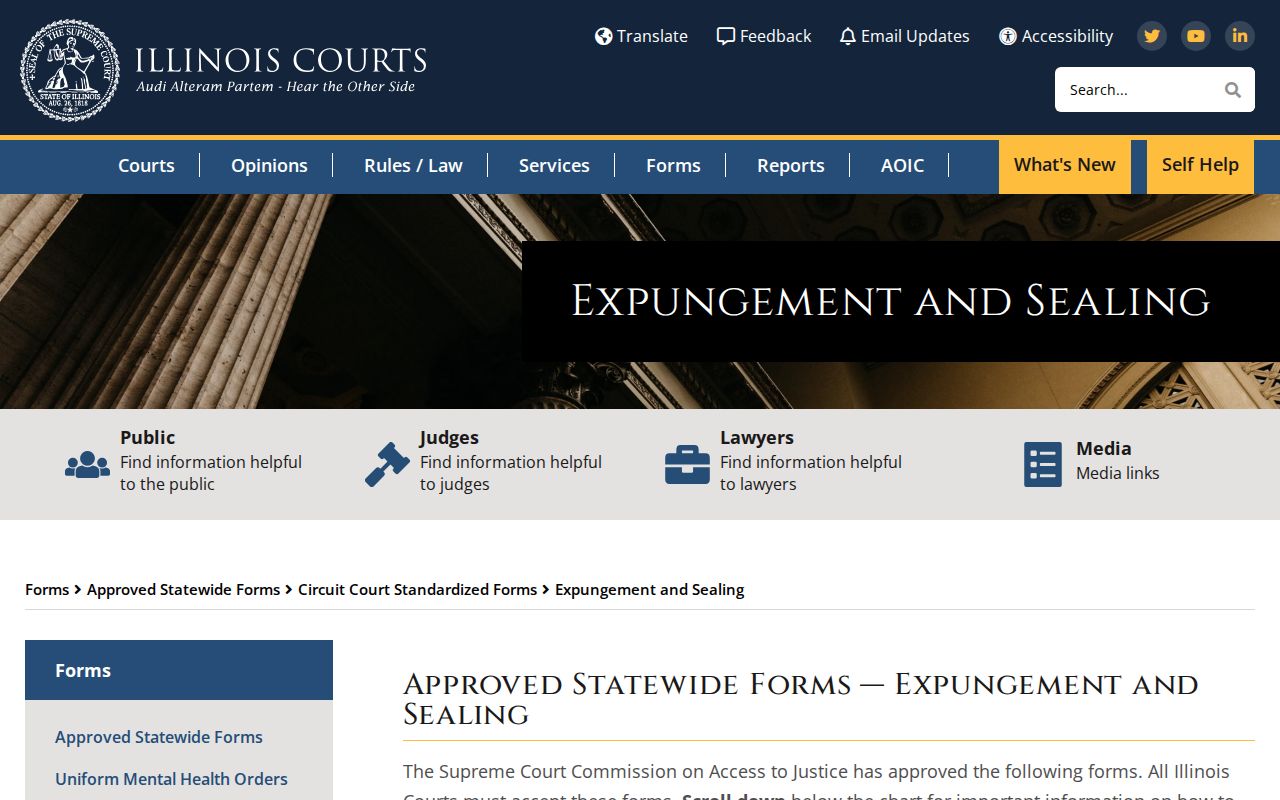
The forms reinforce that a missing or sealed court entry is not evidence to fill with a commercial guess.
The Illinois Courts Kankakee courthouse directory identifies the official local court contact.
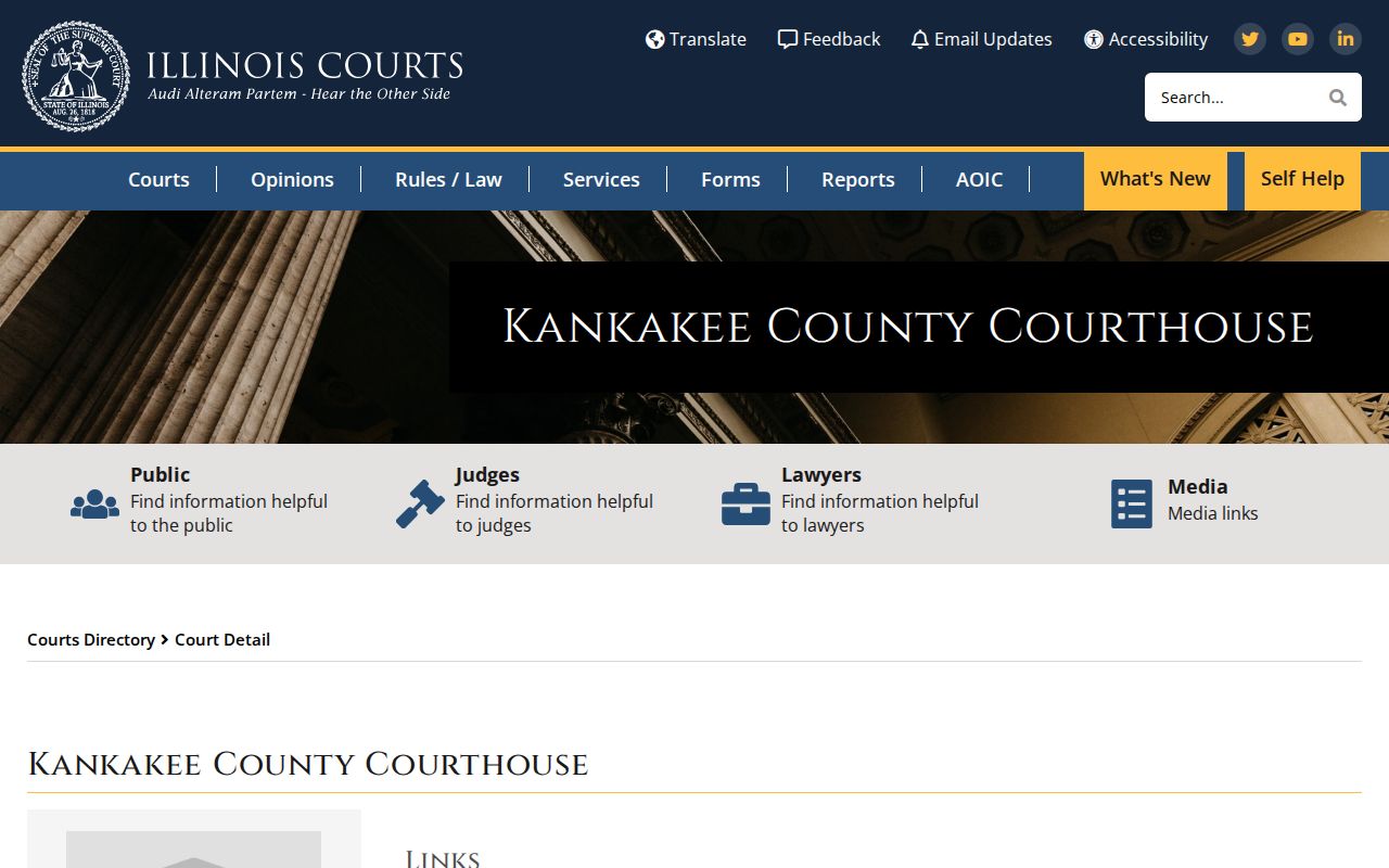
Use the courthouse route to verify a public file rather than treating a third-party summary as final.
Lawful use. Look up Kankakee neighbors for civic contact, reconnection, or personal safety awareness. Never use records to watch, harass, intimidate, or harm anyone.